If you’re a property owner or considering buying land in Los Angeles, understanding the lifespan of a land survey is essential. Land surveys aren’t just paperwork—they’re crucial documents that establish boundaries, prevent disputes, and guide future development. They can determine if land is safe for development, and record damages or new landmarks.
With the recent devastation from the fires across California, it’s more important than ever to know what a land survey is, how long it’s valid, and when you should get an updated survey.
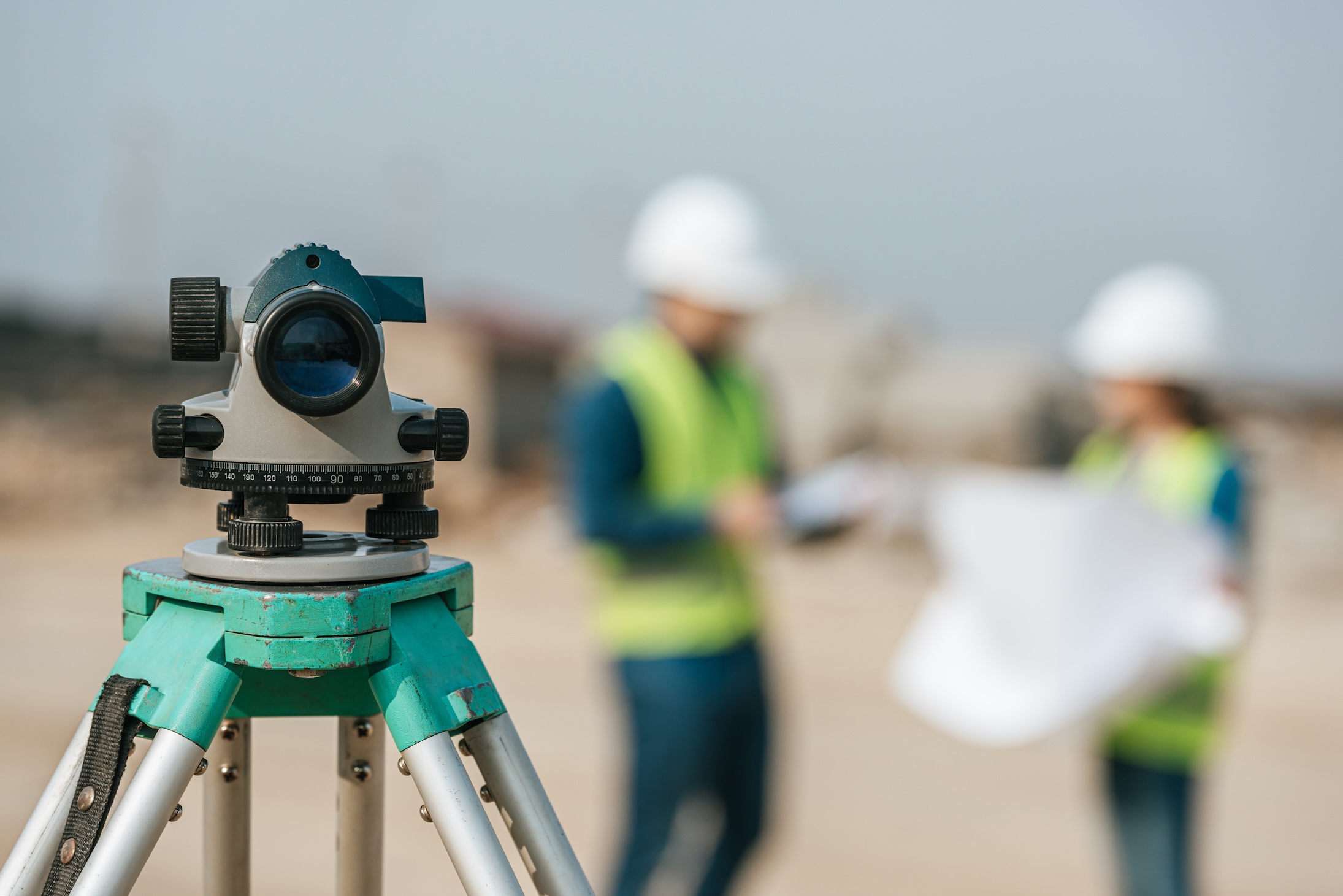
What Are Land Surveys?
A land survey is a detailed map of your property, outlining its boundaries, features, and potential easements or encroachments. It’s conducted by a licensed surveyor using precise tools and methods to measure and record the land’s dimensions and topography. These surveys ensure legal clarity and can be required during real estate transactions or construction projects.
In addition to boundary lines, land surveys might include utility locations, elevation changes, or any structures on the property. There are many types of surveys, intended to record different aspects of property. Each survey serves as a snapshot of the land at a particular point in time, making it an essential document for property owners and prospective buyers.
How Long Is a Land Survey Valid For?
Technically, a land survey doesn’t have an expiration date. However, its validity depends on how much has changed since it was conducted. Factors like property development or natural events can impact its accuracy over time.
In Los Angeles, the recent fires and fast-paced urban development can quickly render older surveys outdated. For example, new construction or shifts in the land could create discrepancies. Relying on an outdated survey can lead to costly legal disputes or delays in construction projects.
When to Get a New Land Survey
After a Disaster
Natural disasters, such as earthquakes, floods, or landslides, can alter property boundaries or terrain. If your property experiences such events, it’s wise to schedule a new land survey to ensure your records accurately reflect current conditions.
If you or your family was impacted by the Greater Los Angeles wildfires, a new land survey may be necessary to rebuild. Post-disaster surveys can prevent disputes with neighbors and clarify property lines that may have become unclear in the wreckage.
When Buying or Selling the Land
A current land survey is often required during real estate transactions. Buyers and sellers both benefit from having an accurate understanding of the property’s boundaries and features.
For sellers, an updated survey can increase buyer confidence and streamline the closing process. For buyers, it provides peace of mind and a clear foundation for future use or development.
When You Want to Build on Your Land
Before starting any construction project, it’s essential to have an up-to-date land survey. Accurate boundary and utility line information ensures compliance with local zoning laws and avoids costly mistakes.
Whether you’re building a home addition or installing a fence, a fresh survey prevents potential conflicts with neighbors or city authorities.
You will also need surveyor services like construction staking to ensure that the new construction is accurately placed where it was planned.
When Disputing Property Lines
Boundary disputes can arise for many reasons, from unclear records to encroachments. In these cases, an updated boundary survey is often the key to resolving disagreements. You can even have a surveyor place boundary staking to visibly mark the lines of your property.
A licensed surveyor’s findings carry legal weight and can provide clarity, helping you protect your property rights.
To Check Your Utility Lines
Land surveys aren’t just about boundaries; they’re also used for identifying underground utility lines. This information is crucial for projects like landscaping or installing a pool.
Accurately locating utility lines can prevent costly damage and ensure safety during construction.
To Obtain Title Insurance
Title insurance companies may require a recent land survey before issuing a policy. This ensures there are no hidden boundary issues or encroachments that could affect the property’s value.
Without a current survey, you risk delays or complications in obtaining title insurance, particularly in high-demand areas like Los Angeles.
How to Check Your Land Survey Records
To check your land survey records, start with the Los Angeles County Assessor’s Office or local land records office. Many property deeds include references to past surveys, which can help you locate the original documentation.
If you’re unable to find the records, hiring a licensed surveyor to conduct a new survey may be the best option. Modern surveys often come with digital copies, making them easier to store and access for future needs.
Get an Updated Land Survey in Los Angeles Today
Keeping your land survey current is a small investment that can save you significant time and money in the long run. Whether you’re buying, building, or resolving a dispute, accurate property records are essential.
As an experienced Los Angeles land surveying company, M&M&Co. is here to help. We are an elite team serving Los Angeles, Ventura, and Santa Barbara counties. We work extensively in Malibu, Pacific Palisades, Beverly Hills, Hollywood, and Santa Monica.
Contact us today to schedule a consultation and ensure your property’s boundaries are precise and up-to-date.